
How a Summers County Property Search Moves from Clue to Record
The statewide applications accept more than one kind of starting clue. The WV Property Search lets you enter an owner name, street name, full parcel ID, or map, parcel and sub-parcel fields. Filters cover class, tax class and land use. The WV Property Viewer starts from the county. It searches by property owner, address or parcel number. Both are assessment and mapping routes. A deed search is a separate errand in the County Clerk index. A tax bill question belongs in the Sheriff inquiry.
When a clue is uncertain, start broad. An address that returns no clean match. It can often be found through the owner's name or community name instead. Compare the street, legal description and parcel number before trusting any single hit. Rural and recreation-area parcels in Summers County sometimes carry mailing labels that differ from the mapped community. So one spelling of an address may not be enough.
- Select Summers County and search the WV assessment application using the best known address, owner or parcel clue.
- Open the candidate result and copy its parcel ID, owner, situs, legal description and deed reference.
- Use the County Clerk index to verify the latest recorded land instrument for that owner or parcel.
- Check the Sheriff inquiry for the tax account, year and payment details, then view the parcel on the map.
- Contact the custodian for an older book, restricted image, correction or certified copy.
Summers County Property Search Fields in the WV Assessment Portal
The state portal offers far more than a street-address box. Its Summers County search fields cover owner name, street name, and full parcel ID. You can also search by map number and by parcel and sub-parcel. Beyond that, filter by class, tax class, land use, and mailing address. Legal description, deed book and page, appraisal, and sale details are searchable too. Acreage, building, and flood information round out the options. An older deed reference works well as a cross-check through the book and page fields. A landowner's name can surface multiple parcels at once. The map and parcel fields narrow things to an exact match.
| Portal Field | Useful Starting Clue | What to Check |
|---|---|---|
| Owner / mailing address | Person or entity name | Same-name owners and mailing versus situs address |
| Street name / property address | Known road or location | Spelling, rural route and E-911 differences |
| Full parcel ID, map, parcel, sub-parcel | Tax-map identifier | Keep the displayed formatting and leading zeroes |
| Legal description / deed book-page | Recorded land reference | Cross-check against the clerk instrument |
| Sale, appraisal, land use and class | Valuation comparison | These fields do not equal a tax bill or market appraisal |
View the official WV Property Search interface to see the recorded field groups. The live page can change as the state maintains its systems, but the form is a reliable lead to Summers County assessment data.
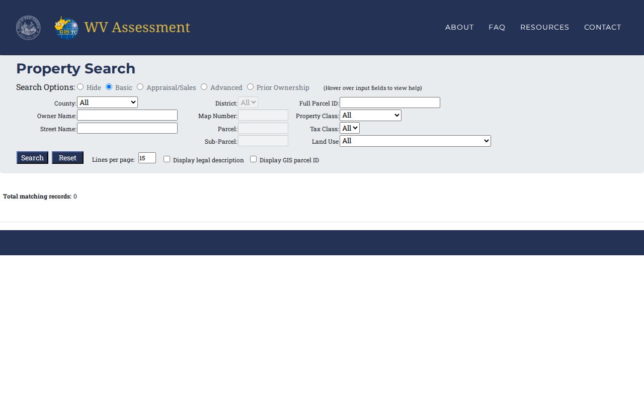
Save the exact parcel identifier from any result. It is the best bridge between the assessor, the map and the tax inquiry.
Summers County Property Search Results Separate Situs and Mailing Address
A property result often shows two addresses. The situs field gives the parcel's physical location. The mailing field shows where assessor and tax mail goes. An absentee owner, farm, cabin, estate or trust may list a mailing address far from the property itself. Treat the difference as something to check, not an error.
The portal also links names to land records without proving residency. An assessor owner field names the person or entity carried on the assessment roll, not the occupants. It can lag a recent transfer because the roll follows its own annual timing. For the filed transfer instrument, the County Clerk's recorded deed is the stronger source. When a company holds the parcel, the state business search can reveal the entity's status and registered agent. It never replaces the deed.
In Hinton, the city zoning map and parcel viewer settle questions about the municipal line. A ZIP code or postal city does not prove a parcel sits inside Hinton. That matters in Summers County because Hinton is the only incorporated place. Names like Pipestem or Talcott describe rural locations rather than city limits.
What a Summers County Property Search Result Can Show
A Summers County parcel result can expose a lot at once. Fields may include the assessment owner's name, situs and mailing address, parcel ID, legal description, acreage, building details, appraisal and sale data. Some views add delinquent status. Others include the E-911 address, community, flood information and a link to an assessment report. Read each property search result field by field. Every value comes from a distinct corner of the county or state record system.
| Owner of record | Name carried on the assessment record |
|---|---|
| Situs / mailing address | Parcel location and separate owner mailing point |
| Full parcel ID | Tax-map identifier for cross-searching |
| Appraisal and sale | Valuation fields and sale information shown by the application |
| Legal description | Recorded land description or lot reference |
| Deed book and page | Cross-reference to the County Clerk instrument |
A parcel record has limits. It does not trace a complete chain of title. It does not prove that every lien has been released. Nor does it stand in for a boundary survey. A sale field is no guarantee of current market value. When the question is who owns a property in Summers County today, compare sources. Check the assessment result against the newest recorded deed rather than trusting one screen.
Summers County Property Search Leads to a Clerk Index That Starts in 2005
Summers County's online land index reaches back to 2005. The Clerk keeps it current to the present. Each hit shows a verified or unverified mark. An Image link opens any document copy. The clerk's categories span deeds, deeds of trust, liens, releases, plats, surveys, oil and gas leases, affidavits, and foreclosure trustee reports. Index access and image access are not always the same step, since some images sit behind an account or payment path.
To confirm a parcel match, start with the grantee or current owner name. Then compare the deed reference against the assessment screen. Older instruments may predate the index. For those, the courthouse books, the State Archives finding aid, and the FamilySearch catalog carry the earlier records. The Clerk's office sits at 120 Ballengee Street, Suite 106, Hinton, with published weekday hours and a phone contact.
The county-linked land-document portal displays its indexed records in a straightforward layout. An account may be required for live access. The Clerk's own instructions govern the current image procedure.
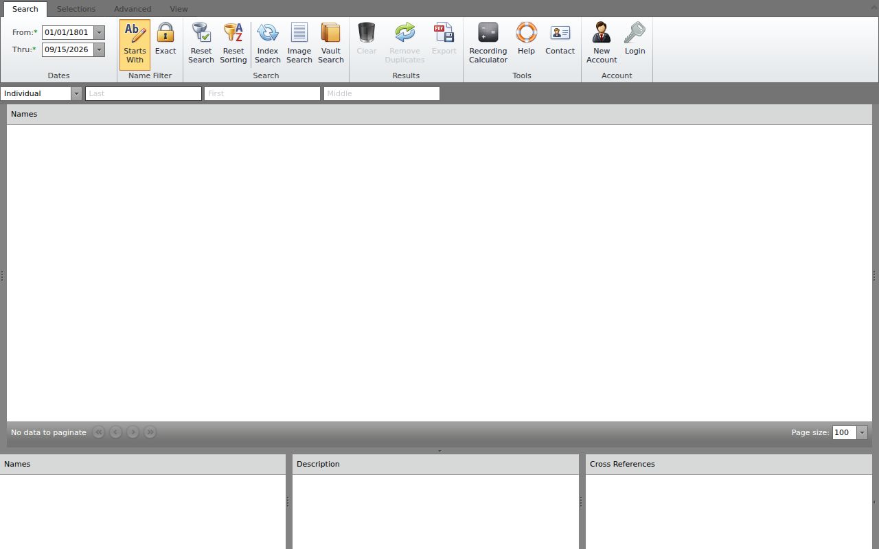
Bring the index year, owner name, and book-page reference together. The clerk can then retrieve the record without extra rounds.
Summers County Property Search Can Continue into the WV Map Viewer
The WV Property Viewer maps a parcel once the assessment result supplies a parcel ID. Zoom in close first. Tax-parcel lines appear only near a 1:18,056 display scale, per the viewer's documentation. A click identifies a parcel. Stacked parcels open a popup with IDs and selection arrows. Detail panels can hold the legal description, owner, physical address, building information, appraised and cost values, delinquent status, community, E-911 address, and flood information.
Share and export controls include copied links, KMZ, and CSV, plus a path to an assessment report. These make a search easy to revisit. Remember the exported shape is tax-map geometry. It is not an instrument that fixes title boundaries. Summers County's rivers, lakes, parks, and rural terrain make a mapped access road, flood link, or community name a helpful orientation cue. Confirm any such detail with the responsible office when it matters legally.
Compare your candidate in the WV Property Viewer. The live application carries the current layers and export controls.
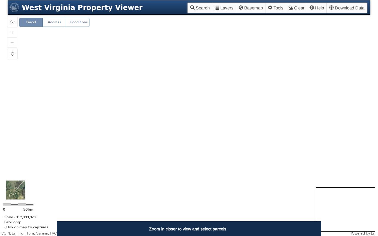
For a boundary or easement dispute, request the recorded plat or survey that the deed references. Measuring from the screen invites error.
Basic, Appraisal and Sales Tabs in a Summers County Property Search
The statewide assessment application splits basic parcel information from appraisal and sales detail. Its prior-ownership mode can add a historical clue. One search result may combine the current owner, parcel facts, land and building values, a past sale, and a deed reference. Read each tab as its own part of the database. A sales value may point to an earlier transaction. The latest deed shows which instrument carried the recorded conveyance.
Write down the parcel ID and the data date. Then compare one view against another. A result can include an old sale or a prior owner that helps research yet is not the present owner. If an appraisal field or sales tab disagrees with the deed, check the record year. Confirm the field with the Assessor.
Appraisal and sales fields make a parcel easier to explore. Treat each as a starting lead. The official records settle the question. They cannot replace the Clerk's filed instrument or the Sheriff's bill.
Prior Ownership Results Add a Summers County History Clue
The prior-ownership view can point to earlier names or transactions tied to a parcel. Treat it as a lead, not a full chain of title. Carry the displayed owner, deed book, and page into the County Clerk index. Online clerk coverage starts in 2005. An older transfer may need deed books or archive holdings. The application can still surface a prior-owner clue.
Tie any former name to the correct tract. Compare the legal description, parcel reference, and transfer date first. Then add the name to your timeline. Similar names are common. A split or combined parcel can change the land tied to a name. This can make a prior owner appear tied to a larger or smaller piece of land. For full history, the Clerk's deed records page explains the grantor-grantee route. The State Archives finding aid describes the older Summers volumes.
A Hinton or Rural Address May Not Be the Best Summers County Property Search Key
Addresses in Summers County rarely line up neatly. One parcel may carry a community name, a postal label, and an E-911 address. All can differ from the assessor situs field. The owner's mailing address can sit far from the land itself. A Hinton ZIP also serves homes well outside the city limits. When a street search misses, shift keys. Try the owner of record, the map number, the full parcel number, or the legal description instead. Keep the original address handy with any alternate spelling so the property search stays traceable.
The statewide portal helps here. It separates the owner's mailing address from the physical parcel. It also offers community and E-911 fields in the viewer detail. That is useful across the county's rural stretches. Remember that these fields describe address administration only, not title lines or municipal limits. For a question about a city boundary, compare against the county GIS map. Check the Hinton plat too before drawing conclusions.
Several Summers County Parcels Can Share One Search Result
Zoom in close on the WV Property Viewer. The map may reveal stacked parcel shapes. A popup can list several parcel numbers with arrows for picking the right feature. Never stop at the first hit. One address can cover more than one tax parcel, such as a house lot beside a separate tract. Compare the descriptions, acreage, and owner of record across every candidate. Then carry the correct parcel number into the assessment and Sheriff tax roll inquiry.
This habit prevents mixing a building address with the larger surrounding property. It also avoids confusing it with a road-access parcel. The assessor result exposes map, parcel, and sub-parcel fields. Summers County publishes no single universal parcel-number format, though. Preserve the exact format from the live deed and tax records. If a mismatch appears, ask the Assessor rather than normalizing the number yourself.
Correct a Summers County Assessment Search at the Assessor
Suppose an owner name, situs address, or map reference looks wrong. Save the parcel number, the result link, and a note on the problem field. The Assessor owns assessment-record corrections. The WV Property Viewer merely displays the tax roll. It cannot amend the record behind it. A legal description or deed reference needs a comparison of the newest recorded instrument against the assessment page. Then ask the Clerk to check the land index.
Different errors need different proof. A map line error concerns tax mapping. A recorded survey or plat gives the tighter land reference a boundary dispute demands. An appeal or change request also follows the Assessor's calendar. That calendar includes January appointments and February review hearings. Keep each question tied to the exact parcel and field. That way the office routes it fast.
Choose a Summers County Property Search Key That Fits the Clue
The right Summers County property search key depends on the clue in hand. An address works when the situs is modern and stable. An owner name suits a portfolio or entity-held parcel. A parcel ID is strongest when the same land must be compared across systems. Use it to match an assessment card, a map popup, and a tax bill inquiry. The state portals accept all these routes. But formats can differ between systems. So keep the displayed ID exactly as shown. Confirm it before changing any punctuation or spacing.
| Search Key | Best For | Where It Works | Watch Out |
|---|---|---|---|
| Address | A known building or road | WV Property Search and Viewer | Community, postal and E-911 labels can differ |
| Owner name | Land tied to a person or entity | WV Property Search and Clerk index | Same names, estates and company ownership need care |
| Parcel number | An exact tax-map match | Assessment, Viewer and tax inquiry | Preserve the format shown by the source system |
Not a title search. A Summers County property search finds public assessment, map and index references, but it does not guarantee clear title or a complete list of interests. A title professional reviews the full chain and related records.