
Sources for a Summers County Neighbor Lookup Around the Block
No single Summers County source offers a one-click neighbor or buffer search. You build the block yourself. The WV Property Viewer lets you click a parcel, read its number and open the detail panel. WV Property Search adds street and owner fields. Recorded plats, where they exist, show how lots relate. Each source covers a different slice, so keep parcel IDs handy as you move between them.
| Source | What It Shows About a Block | Access |
|---|---|---|
| WV Property Viewer | Selected parcel, ID and surrounding mapped geometry | Click at parcel scale; use popup arrows for stacked parcels |
| WV Property Search | Owner, mailing address and parcel fields | Search by street, owner or parcel identifier |
| County Clerk plats and surveys | Recorded lot, block and boundary references | Search the land index or ask the Clerk for the book |
| Hinton zoning map | Municipal boundary and zoning areas | Static map; confirm parcel status with city staff |
A neighbor lookup returns tax parcels and owners of record. It says nothing about renters. Household members and visitors never appear either. Mailing addresses can differ from situs addresses. So an adjacent owner may seem to live somewhere other than the parcel itself.
The WV Property Viewer displays the parcel map along with its detail tools.
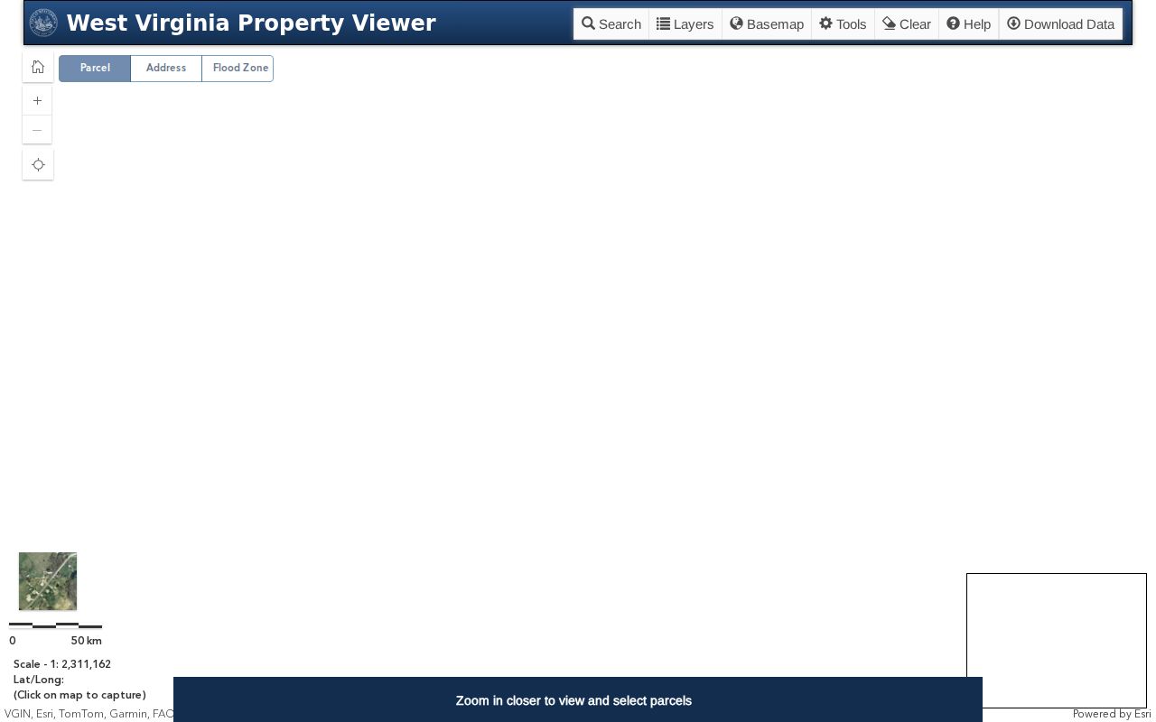
Note each bordering parcel ID before any name.
Read Adjacent Parcel IDs Before Looking Up Summers County Neighbors
The viewer's documentation describes identify and click tools. It lists no adjacent-parcel buffer or select-by-location command. So work by hand. Find the subject parcel and zoom until its boundaries display, then click each bordering shape. Note the parcel ID. Carry that number into the assessment search.
If shapes overlap, use the viewer popup and its arrows to choose the right parcel. Never guess from a street label. Parcel geometry exists for tax mapping, and a shared edge on screen is not a surveyed boundary. Where a fence, road or easement is in question, compare the recorded plat or survey, and use a licensed surveyor for a line dispute.
The county's online parcel documentation also describes CSV and KMZ export plus a copied-link control. Check the export fields in the application itself. Confirm availability there too.
Search the Summers County Street Field for a Neighbor Lookup
WV Property Search offers a Street Name field next to address, owner and parcel ID. A street search pulls assessment records sharing one road. Each result's parcel ID and situs can then be checked on the viewer. No multi-result roster for Summers County is promised, though. The field may not return every property on a road. Treat it as a discovery method.
Rural roads complicate things. Community names and E-911 labels often differ from mailing addresses. Try a shorter street form. Keep the parcel IDs. Tax parcels are not numbered in tidy sequence, and one ZIP code can span more than one place.
Hinton's City Line Adds Context to Summers County Neighbors
Hinton is Summers County's only incorporated municipality. The county still holds the assessment, deed, tax and GIS records. The official Hinton zoning map draws the city boundary and its zoning areas in color. Compare that outline with the parcel viewer. Then confirm current zoning or jurisdiction with the city itself.
A Hinton ZIP code proves little. It cannot place a parcel inside the city. The Summers County government page confirms Hinton's county-seat and sole-municipality status and adds that geographic context.
Keep the county parcel ID when a neighbor parcel crosses a municipal or zoning line. Ask the relevant office a specific jurisdiction question.
Recorded Plats Can Explain a Summers County Neighbor Lookup
A recorded plat often beats the modern tax map in a platted neighborhood or downtown block. It can show original lots, roads and shared spaces. Summers County's Clerk records plats and surveys. The archive holds older plats, and a plat name or book-page reference from a deed narrows the search. Rural tracts differ.
Many sit outside any named subdivision. There, a metes-and-bounds legal description works better than a plat. Hinton's railroad-era core adds another wrinkle. Historic descriptions may tie older lots to blocks, the river or the rail line, while a modern street number maps poorly to them. Compare the deed's legal description and any survey citation before calling two close parcels neighbors.
Mailing and Situs Fields Can Differ Across a Summers County Block
Every parcel record carries two different addresses. The situs address describes where the land sits. The mailing address tells the county where to send the owner's correspondence. One owner holding several rural parcels in Summers County often lists a single mailing address for all of them. That address may sit in Hinton or well outside the county. That split explains a common mismatch. A block-level map and a list of owner mailing locations rarely match up neatly.
Treat a neighboring parcel's assessment card as a way to identify the owner of record. It also covers basic parcel facts. It cannot reveal who lives in the home. It also cannot settle whether two parcels share a legal access easement. For deed and plat references, work through the County Clerk. Leave exact boundary questions to a licensed surveyor.
Map the Parcels Beside an Address in a Summers County Neighbor Lookup
Start with one known address in WV Property Viewer. Select its parcel and write down the parcel ID. Then zoom in until parcel boundaries appear. Click each tract that touches or sits near the subject parcel. Stacked map features sometimes hide the right record. Use the popup and its arrows to pick the correct ID. Carry those parcel IDs over to the Assessor's property search. Read each owner field and mailing address there. The work is manual by design. Summers County's documented viewer tools include no automatic adjacent-parcel or buffer selection. Each neighbor must be clicked and recorded by hand.
- Locate the subject property and record its full parcel ID.
- Zoom to parcel scale and identify the bordering or nearby map features.
- Write down each candidate parcel ID, including any popup choice for overlapping shapes.
- Search the assessment roll for each ID and compare its situs and owner mailing fields.
- Parcel ID
- The tax-map key for a particular parcel.
- Adjacent parcel
- A nearby parcel; it may or may not share a surveyed boundary.
- Abutting parcel
- A parcel that shares an edge with another parcel.
- Buffer
- A distance area around a feature; an automatic tool was not confirmed here.
- Plat
- A recorded map of lots or land layout.
Rural Summers County Neighbors May Use Community and Water Clues
Summers County reaches across rural communities like Pipestem, Sandstone, Talcott and Green Sulphur Springs. It also includes lake, river, park and recreation settings. A neighboring property can carry a Hinton mailing address yet lie outside Hinton entirely. E-911 addresses add another wrinkle. They sometimes differ from the street and community label written in a deed. Near water or park land, flood information, road access and easements often drive the comparison. Each of those details belongs to a different controlling source.
The WV viewer detail panel can display community, E-911 and flood-related layers. But it does not prove legal floodplain status or an access right. Use the map to locate the parcels first. Then compare legal descriptions, any recorded survey or plat, and the deed language covering a road or easement. A nearby parcel number alone never establishes shared access between two properties.
Keep a Summers County Neighbor Lookup Tied to Its Source
For each nearby owner, record the parcel ID, situs address, mailing address and assessment year. Then keep the source tied to every fact. Use WV Property Viewer for the mapped location. Use WV Property Search for the assessment owner. The Clerk's recorded plat or deed covers any legal relationship. That paper trail separates adjoining tax parcels from a road parcel or a larger parent tract. That is where confusion usually creeps in.
Summers County offers no parcel-buffer query. There is no complete multi-result street capture and no public subdivision layer in its online tools. The Assessor's Street Name field can surface same-road results. But it should not be mistaken for a complete neighbor roster. Confirm a missing parcel or boundary question with the county and request the relevant plat or survey reference. Handled this way, the lookup supports solid land research. It does so without turning public owner data into a list of residents.
Adjacent, Abutting and Buffer Have Different Map Meanings
These three words get used loosely, but they mean different things. An adjacent parcel is simply nearby on the map. An abutting parcel shares an actual edge with the subject tract. A buffer is a distance zone drawn around a feature, yet the WV Property Viewer documentation lists no automatic buffer or select-by-location command for Summers County. The practical route is manual: identify the subject parcel, then inspect the parcel IDs ringing it. A plat adds the original arrangement of lots, roads and shared spaces, which the online tax map cannot supply.
The distinction shapes what a neighbor lookup should pull. Someone worried about a shared access lane needs a boundary or easement record rather than a parcel list, while a block comparison may only need nearby parcel IDs. The tax map suggests which records to inspect. Exact lines, though, still require a plat or survey. A recorded right requires the deed itself.
Privacy and the Limits of a Summers County Neighbor Lookup
A Summers County neighbor lookup works best when it stays focused on the land. Its public record is what the lookup actually reveals. The assessment roll names owners of record and supplies parcel context. It is not a list of occupants, renters or visitors. West Virginia public access carries exemptions. The county publishes no local opt-out or current confidentiality procedure. Property data must never be used to identify, watch or target a person.
Lawful use. Use adjacent-parcel information for lawful boundary, land and civic questions. Do not use an owner's name or mailing address to watch, harass, intimidate or target anyone.