
What a Summers County Parcel Map Displays
Summers County sits inside the WV Property Viewer, a statewide application that pairs a tax parcel map with search tools. The detail panel is the heart of it. Pick the county first. Then search by owner, property address, or parcel number. Zoom close and the parcel boundaries draw in. Clicking an identified parcel opens a panel that can show the owner, physical address, and description, along with building information, cost and appraised values, delinquent status, community, E-911 address, and flood information, plus links to an assessment report and external maps. Highlight, copy-link, and download or export controls round out the toolkit.
| Layer | What It Shows | Use |
|---|---|---|
| Tax parcel geometry | Mapped parcel shape and identifying number | Locate the assessment parcel; not a survey |
| Identify / click | Parcel ID and detail panel; popup for stacked parcels | Select the correct map feature at close scale |
| Owner and address search | Subject parcel by name, situs or parcel clue | Start a county parcel lookup |
| Flood information | Flood-related parcel link or information | Orientation only; confirm with the authoritative source |
| Export and report links | Assessment report, copied link, KMZ or CSV controls | Save or share a result, then verify its source fields |
A parcel ID works as a bridge. It carries you from the map into the WV assessment record and the Sheriff tax inquiry. The deed reference and legal description then point toward the County Clerk's recorded instrument. Zoning is a separate matter in Hinton. Compare the city zoning map with the parcel map. Overlapping lines on screen prove nothing. Ask city staff for a current determination, and open the WV Property Viewer for the parcel map and its information panel.
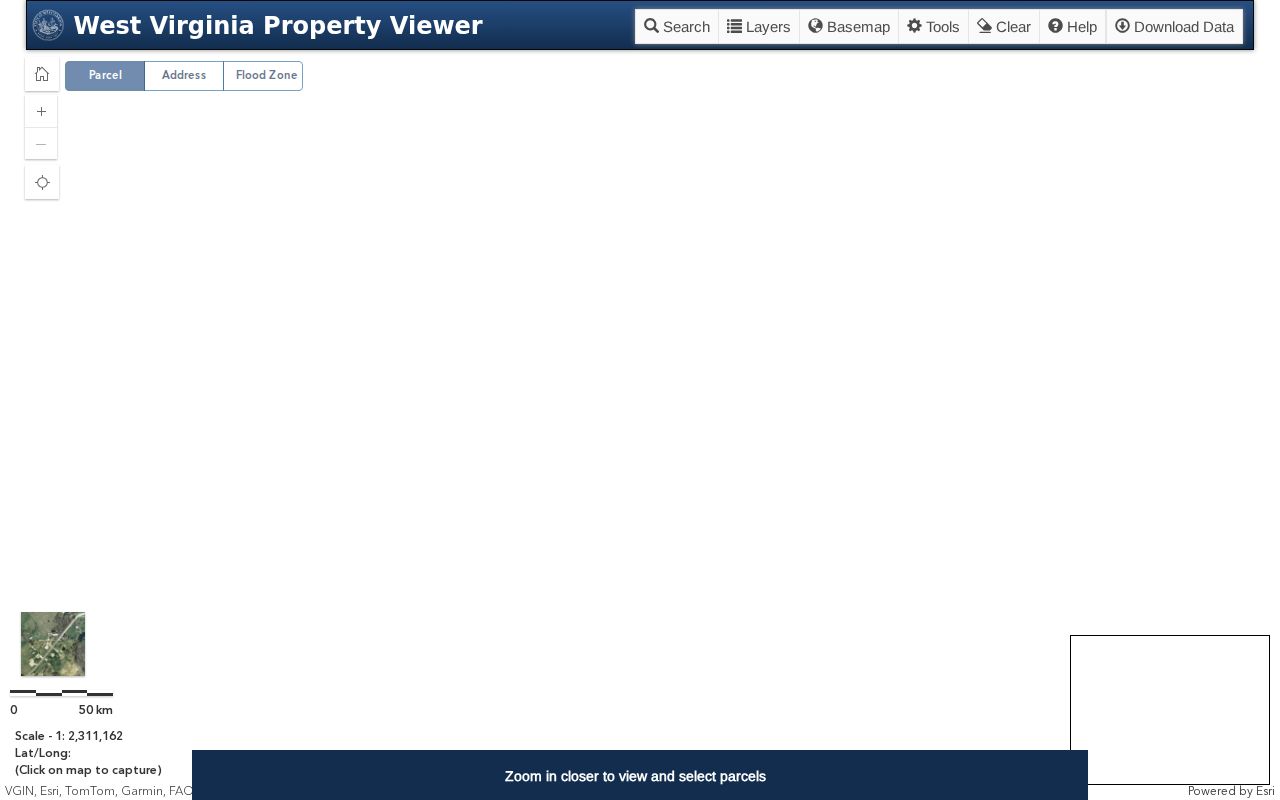
The detail panel makes a strong cross-reference. For legal questions about ownership or boundary, the recorded deed and a survey remain the controlling records, and no onscreen polygon substitutes for either.
Zoom in Before Reading Summers County Parcel Lines
Parcel linework in the viewer appears at roughly a 1:18,056 scale. Zoomed to the whole county, the map can look bare. Pick the county first. Find the subject parcel and keep zooming until the lines render. A click identifies the parcel. Where features overlap, a popup may list several parcel IDs with arrows for stepping among them. That habit matters in tight downtown blocks, along roads, or anywhere several tax parcels crowd together.
Never read a lot edge from a distant view. A boundary on screen is a tax-mapping representation. It can diverge from the surveyed line. If the parcel hides where you expect it, try the owner or parcel search rather than dragging the map toward a similar shape, then check the legal description and parcel ID against the assessment record before trusting the match.
The documented tools cover identify, highlight, copy-link, KMZ and CSV export. Export fields and availability should be confirmed live. The state system may change its controls.
Summers County Parcel Maps Use Several Parcel ID Parts
The state application splits a parcel ID into parts. Fields cover the full ID, map number, parcel, and sub-parcel. No public help documents a single Summers County formatting rule. Copy the identifier exactly as displayed, zeroes included. An old deed or tax receipt may hold only a partial map-parcel clue. Try it in the matching field. Compare the legal description before trusting it.
Deed book and page fields offer another crosswalk. They tie the map back to the County Clerk's instrument. Remember what the number is. A parcel number is a tax-map key, not the property description. Parcels get split, combined, or described in lot and metes-and-bounds language. So the title instrument and recorded plat supply context the ID alone cannot.
For a mapped-geometry or parcel-record error, contact the Assessor. The office controls corrections to county assessment data. Keep a screenshot or copied link handy. Note the parcel ID too. The office can then pull up the same feature and correct it.
Find a Summers County Parcel from an Address
For a modern situs address, select Summers County in the WV Property Viewer and run the search. Address results can come back ambiguous. When they do, fall back on the owner name, map number, or full parcel identifier in the state assessment portal. Then return to the map. The viewer separates physical address from owner mailing address. In rural communities a postal label rarely says exactly where the parcel lies.
- Select Summers County and search with the best address, owner or parcel clue.
- Zoom to the parcel scale and click the map; use the popup arrows if several parcel IDs overlap.
- Copy the full parcel ID and compare the detail panel's legal description and owner.
- Open the assessment report, deed reference or tax inquiry for the underlying record.
- Parcel number
- The assessment map's key for a particular tax parcel.
- Plat
- A recorded map that lays out lots or other mapped land.
- Lot and block
- A parcel description that refers to a platted lot and block.
- Metes and bounds
- A written description using bearings, distances and boundary calls.
Recorded Plats and Surveys Add Detail Beyond a Summers County Parcel Map
The County Clerk records plats and surveys alongside deeds and other land instruments. A subdivision plat can reveal lot, block, and access relationships that the online tax polygon never shows. A survey sharpens the legal description further. Only a qualified surveyor sets lines on the ground. Let the parcel map supply the record reference. Then chase the plat or survey through the deed history.
Summers County archive holdings include plat and survey material. Older series are easier to spot with help. The State Archives land-record finding aid lists plats and surveys among its Summers County holdings.
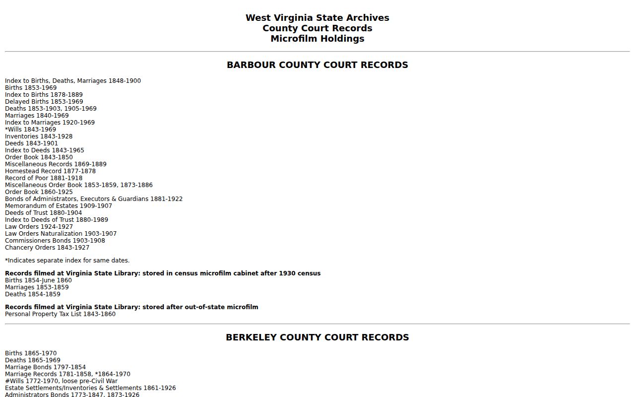
Match the plat reference, date, and legal description first.
Hinton Zoning and Summers County Parcel Maps Answer Different Questions
Hinton's zoning map and the Summers County parcel map answer separate questions. One shows municipal zoning districts in color. The other shows tax-parcel geography. Laying the two views side by side can suggest whether a parcel sits inside the city. It can also hint at which district might apply. But neither display settles the matter on its own. Neither one is a boundary survey, a title determination, or a final zoning ruling. Hinton's code sets the municipal zoning framework and the Board of Zoning Appeals process. So ask the city for a parcel-specific answer.
Summers County has just one incorporated municipality. Still, the 25951 ZIP and rural mailing routes can stretch past the city line. An address that says Hinton does not prove city jurisdiction. Treat the mapped municipal boundary as a clue. Then confirm with Hinton staff before planning a remodel, an addition, or any change of use.
West Virginia Updates Tax-Map Products on a State Schedule
The State GIS Clearinghouse publishes tax-map products as images and as geodatabases. The state describes updates as a yearly effort coordinated with the Tax Office. The statewide assessment portal adds a caution of its own. Some county geometry, it warns, may still live on paper or take years to convert. That caveat matters whenever an online parcel shape looks incomplete or sits slightly misaligned.
A map can still help you identify a parcel. Just remember the display may lag behind recent corrections or older paper detail. For Summers County, start with the WV Property Viewer. Then compare its parcel ID and legal description against the assessor card. Suspect an error on the map? Contact the Assessor. Need a larger tax-map product? Take the state data route. Confirm the publication date and format before any analysis rests on it.
Note: An annual update statement is not a promise that every county feature refreshes on the same day. Nor is it a promise that every paper image has become digital geometry.
Summers County Parcel Detail Includes Address and Flood Clues
The WV Property Viewer parcel panel can hold a lot of practical detail. It may list the E-911 address, community, physical address, and owner of record. Building data, delinquent status, and flood information may appear too. Those fields earn their keep. A mailing address, road name, and map location can refuse to line up. For a rural parcel, the community label can help. You can track down an older deed or ask an office a sharper question with it. The E-911 field ties an emergency address to its tax parcel.
Treat flood information and external map links as orientation tools. The viewer may link out to street or mapping services. But those displays do not decide a legal floodplain question, an access easement, or a property boundary. Summers County has river, lake, and recreation settings where these issues come up often. So verify with the authoritative floodplain source. Compare the recorded description whenever a real decision rides on the answer.
Compare a Summers County Map with the Deed Description
A legal description can rely on calls and bounds. It may use lot and block. It may cite a plat reference, or easements and reservations that no parcel viewer will show. Start with the current deed. Copy its description, then compare the cited survey or plat to the tax map. The map orients the tract and reveals neighboring parcel IDs. It cannot decide whether an access road, stream edge, or fence lies legally inside the lot.
For boundary research, ask the County Clerk for any recorded survey or plat that the deed cites. Archives list Summers County plats and surveys among their holdings. That helps with older property histories. A licensed surveyor is the right professional to locate a line on the ground. That is especially true where a river, park, access road, or old subdivision description is involved.
Keep every reference tied to its parcel ID and deed date. A map screenshot without the instrument and legal description is too thin to support a boundary conclusion.
What Summers County Parcel Maps Cannot Establish
The WV Property Viewer shows parcel geometry for tax and reference purposes. It does not establish title. It does not establish exact boundary lines, access rights, easements, or a legal floodplain determination. A mapped polygon may not line up with fences, roads, river edges, or physical improvements. The flood-information link is a useful clue, nothing more. Legal and insurance decisions belong with the authoritative floodplain source. For a boundary concern, a recorded survey and the right professional settle it.
Not a survey. Summers County GIS lines are tax-map references only. Before building on, fencing or disputing a boundary, review the recorded survey and hire a licensed surveyor where needed.