
How to Start a Summers County Property Records Search
No single office holds everything. Summers County property records are spread across the County Clerk, the Assessor, the Sheriff tax inquiry, and two state-supported property applications. For a house or parcel, the WV Property Search and WV Property Viewer are practical first stops. Either one can start from an address, an owner name, or a parcel clue and return a parcel identifier for the next step. The Clerk keeps deeds and other land instruments. The Assessor handles valuation and assessment data. The Sheriff inquiry shows billing and payment. Read Summers County property records as a connected trail, not as one finished title file.
Keep your clue and your question together. An address can locate a parcel. A parcel ID links the map to the assessment record. A deed shows a recorded transfer. A map line does not settle a boundary, though, and a tax roll entry does not guarantee clear title. When systems disagree, save the book, page, parcel, and date references, then ask the office that created the record to explain its entry.
- Search the WV Property Search or Viewer by address, owner name or parcel clue, and note the full parcel ID.
- Use the County Clerk index to find the deed or land instrument tied to that parcel or owner.
- Check assessment and value fields with the Assessor, then use the Sheriff tax inquiry for bills and payment status.
- Return to the parcel map to compare the location and neighboring tax parcels, treating the shape as reference data.
- For a complete instrument, older volume or certified copy, contact the custodian instead of relying on a search result.
Who Keeps Summers County Property Records
Summers County has a compact record route, but the offices are not interchangeable. The County Clerk records land instruments and preserves the local books. The Assessor maintains parcel assessment data. The Sheriff handles tax billing and collection. State applications display or route some information. Yet the county custodian remains the place to resolve a record question. The courthouse sits in Hinton, the county seat and the county's only incorporated municipality.
Summers County Clerk
120 Ballengee Street, Suite 106
Hinton, WV 25951
(304) 466-7104
Summers County Assessor
County courthouse, Hinton
West Virginia assessment system
Contact the courthouse office
Summers County Sheriff Tax Inquiry
Online tax billing and payment records
Search by account or map-parcel details
County tax inquiry
WV Property Search Fields for Summers County Parcels
The West Virginia assessment application lets a Summers County searcher pick the county. Searchers can then narrow results with a wide set of record keys. Fields include owner name, street name, full parcel ID, map, parcel and sub-parcel, class and tax class, land use, mailing address, legal description, deed book and page, appraisal, sale, acreage, building, and flood information. That breadth makes the portal useful well beyond a simple address lookup. A rural parcel is often easier to find by owner, map number, or legal description. A postal address may have changed or cover a broad area.
For Summers County property records, copy the parcel identifier exactly as displayed, including leading zeroes. The public help does not spell out one normalized format for every parcel. Note the difference between addresses. The situs address describes the land or building. The mailing address belongs to the owner and may be somewhere else entirely. Neither is a mismatch by itself. If a field looks wrong, contact the Assessor, because that office controls the assessment record.
The official WV Property Search interface shows the county, owner, street, parcel, appraisal, and sale fields. Live results change as the state database is updated.
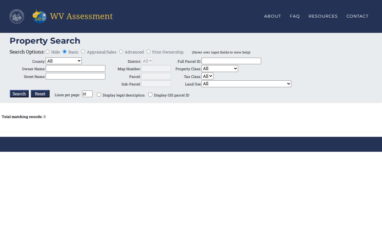
After identifying a candidate parcel, carry its ID into the viewer and the clerk index. One search screen will not answer every ownership or boundary question on its own.
The 2005 Line in Summers County Property Records
The County Clerk's instructions state that indexed online land documents cover 2005 through the present. That date marks the limit of the current online index. It is not the beginning of land ownership in the county. Nor is it proof that an older deed is missing. A current transfer can be found online. A longer chain of title, though, often crosses the 2005 line. Beyond it, the trail moves into deed books, indexes, archive copies, or microfilm.
The clerk index reaches across deeds, deeds of trust, liens, and releases. It also covers plats, surveys, oil and gas leases, affidavits, and foreclosure trustee reports. Search results may distinguish verified from unverified entries. Document images can carry an Image link. The county instructions describe an account or payment path for some image access. Treat any result as an index lead. Check the verification label and document reference. Ask the Clerk for a copy when the image is unavailable or the record must be certified.
The official Summers County Clerk instructions list the office's land-record categories and online-document guidance. Portal behavior varies. So confirm current image access and any copy charge with the Clerk before making a trip.
Summers County keeps its historic deed work behind the Clerk's counter. The office sits at 120 Ballengee Street, Suite 106, in Hinton, open weekdays from 8:30 a.m. to 4:30 p.m.
Record Types Inside Summers County Property Records
Summers County property records split into layers that answer different questions. A deed records a transfer of ownership. The Assessor's card carries the valuation. A tax entry shows the bill and payment status. The parcel map fixes location and tax parcel. Keeping these purposes straight prevents a search from pulling the wrong record. It helps you match the question at hand to the right record.
| Record Type | What It Documents | Kept By | Access |
|---|---|---|---|
| Deeds and releases | Recorded transfers and later instruments | County Clerk | Online index from 2005; older books and copies through custodian/archive routes |
| Deeds of trust and liens | Recorded security interests and releases | County Clerk | Land-record index and clerk-held instruments |
| Assessment and value | Owner, parcel, land/building and appraisal fields | County Assessor / WV application | Public state assessment search and viewer |
| Tax bill and payment | Tax years, account, map-parcel and billing address | County Sheriff inquiry | Public online inquiry |
| Plats, surveys and parcels | Recorded lot references and mapped tax parcels | County Clerk / WV Property Viewer | Clerk records plus statewide map; survey controls boundaries |
Start with the question. Who received the land? Use the deed. How does the county value the parcel? The assessment record answers that, and the Sheriff's inquiry handles billing and payment. For a deeper title route, the Summers County deed-records guide walks the deed chain, while tax timing and exemptions belong with property tax records.
Summers County Property Records Follow the Tax Calendar
Timing matters in Summers County when a sale and a property search land close together. July 1 sets the ownership and value date for the following tax year. Tax tickets go out by July 15. The assessment books close March 15. Appeal hearings run in February. The Assessor also posts January appointments and a December 1 homestead deadline. Because of this calendar, the owner shown on a tax record can lag a recent closing. An assessment concern belongs inside the stated review window.
Value and billing are separate layers. West Virginia generally assesses at 60 percent of fair market value. The Sheriff tax inquiry reports billing and payment. Do not treat an assessed value as a current estimate. Compare the tax year and effective date on the assessment record first. A bill also reflects rates and classification. It is not a sale price.
The county publishes its dates on the Assessor calendar and exemption information page. Rates and schedules change, so rely on the current posting for a live tax question.
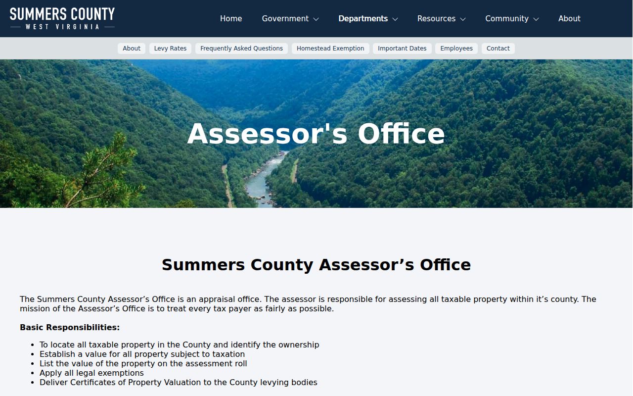
The sequence guides timing only. It cannot replace the year printed on an individual assessment card or tax ticket.
Hinton Is the Only Incorporated Place in Summers County Property Records
Hinton serves as the county seat and the only incorporated city in Summers County. That limits municipal confusion. Still, not every mailing address with a Hinton label sits inside the city limits. Postal names and rural community names reach beyond that legal line. When a question turns on whether a parcel sits within Hinton, use the WV parcel viewer and the city zoning map side by side. The deed and the assessment remain county records either way.
Summers County land records also lean on community names. Some examples are Brooks, Elton, Forest Hill, Green Sulphur Springs, Hix, Indian Mills, Nimitz, Pence Springs, Pipestem, Sandstone and Talcott. Treat them as search clues. They are not additional incorporated cities. A deed may carry a community or district name. The current tax card may list a different situs or E-911 address. Keep the legal description and parcel identifier handy. Give an office all three when asking it to locate a record.
The county's official home page names Hinton as the seat and sole municipality. It works well as a roster reference. For Hinton zoning questions, confirm current details with city staff.
Address, ZIP and municipality are three different geographic labels. The Hinton city page handles the municipal layer, while this county overview follows the shared record system behind it.
Older Summers County Property Records Continue in Archive Holdings
Summers County property records reach back well before the current online index. The county formed in 1871. Archival descriptions list deed indexes from 1871 through 1969, deed and trust-deed books into the early twentieth century, and surveys, land books, delinquent-land records, probate and court volumes. FamilySearch summaries point to deed books covering 1870 to 1904. Those ranges describe separate catalog series. Don't collapse them into a promise that every image is online.
West Virginia launched a statewide preservation project in 2011. Summers County is marked complete. Digitized deed books went back to county clerks. The State Archives holds the preservation copies. The project bridges older title research, though it does not index every archived image in the clerk's web portal. A practical path runs from the current assessor parcel to the latest deed, then to the prior grantor, and finally to archive index and book references as the chain moves backward.
See the Statewide Preservation Project entry for Summers County and the State Archives finding aid. Both document preservation and microfilm holdings. Neither guarantees remote viewing of every record.
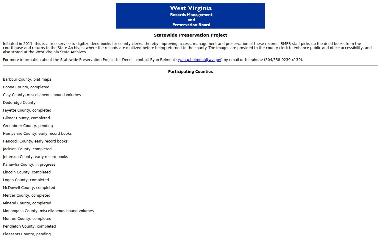
Hold onto the name, book, page and year. Then ask the Clerk or Archives for the next access step when an index entry stops or an image is restricted.
Use the Summers County Parcel Viewer to Search Property Records
The WV Property Viewer layers a statewide parcel search onto an interactive GIS map. Pick Summers County from the list. Then search by owner, address or parcel number until the tax parcel boundaries draw onto the screen. The documentation pegs that view at roughly a 1:18,056 scale. Click a shape and the panel fills in what the county knows. It lists description, owner of record, physical address, building details, cost and appraised values. Delinquent status, community, E-911 address and flood information appear too. Where parcels stack on the map, a popup appears. Arrows let you choose the right one.
Handy controls round out the search. Some can copy a map link. Others highlight a result, download a KMZ or export a CSV row. An assessment-report link jumps back to the parcel's valuation record. Treat any saved link or exported row as a pointer to the underlying tax map. Nothing more. For Hinton, the zoning overlay next to a parcel outline gives city context only. It is never a title or survey answer. Confirm suspected map errors with the Summers County Assessor.
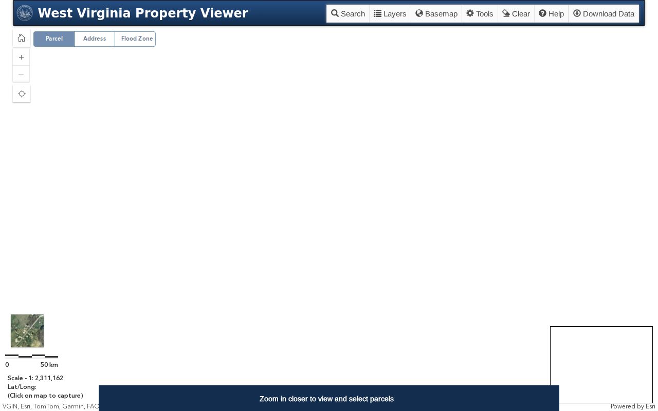
A GIS polygon is not a legal survey. A flood information link is not a final floodplain determination. For questions that turn on exact lines or risk, rely on recorded surveys and the proper authority.
Summers County Tax Inquiry Adds Billing Clues to Property Records
The Summers County Sheriff tax inquiry is the billing and payment side of a property search. Payments run through it too. Its controls cover account, map-parcel, description and billing-address clues. The result path includes tax years and payment detail. Start with the parcel from the assessment card if a bill account is not known. Then check that the tax year shown is the one you need. A paid ticket, an older balance and a new assessment refer to different points in the county's calendar.
The Sheriff does not set assessed value. That is the Assessor's job. The tax inquiry helps answer whether an account has a bill or payment status. It does not replace the assessment card or the County Clerk's recorded transfer. For Summers County property records, compare the parcel ID and tax year. Do this before calling an amount a current balance. A billing address can differ from the situs address. This happens particularly where one owner receives notices for several rural parcels.
The official Summers County tax inquiry page displays its tax-year, account and map-parcel controls. Use the live site for current amounts and payment status.
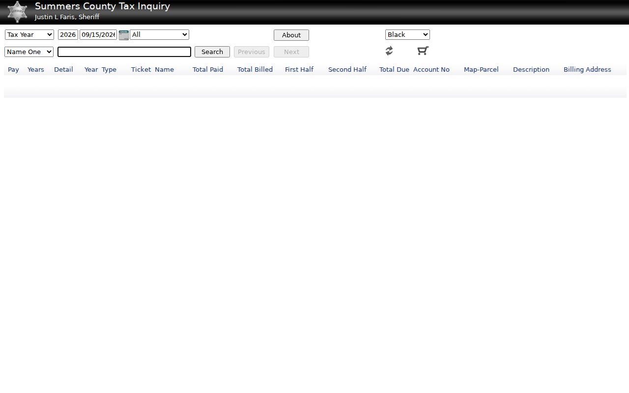
When asking the Sheriff about a bill, keep the parcel identifier and the year side by side.
Court Cases and Summers County Property Records Meet at the Courthouse
Property questions and court records often cross paths at the Summers County Courthouse. The County Clerk holds judgments alongside other county records. Circuit and magistrate access runs through West Virginia Judiciary systems. Summers County sits in the 30th Circuit, shared with Monroe County. The statewide court-record access page routes searchers to circuit and magistrate resources. A full case file or certified copy still comes from the local clerk. A judgment or case reference can shed light on a property interest. But it is not a deed transfer by itself.
The Magistrate payment and case search demands an exact citation, case or payment ID, with an optional citation county field. A payment run through WV.gov may add a $2 surcharge. That tool cannot stand in for a land-index search. The County Clerk's land records name the recorded instruments. Those include deeds, liens, releases and foreclosure trustee reports. Tie any court clue to the exact land record and parcel before concluding anything.
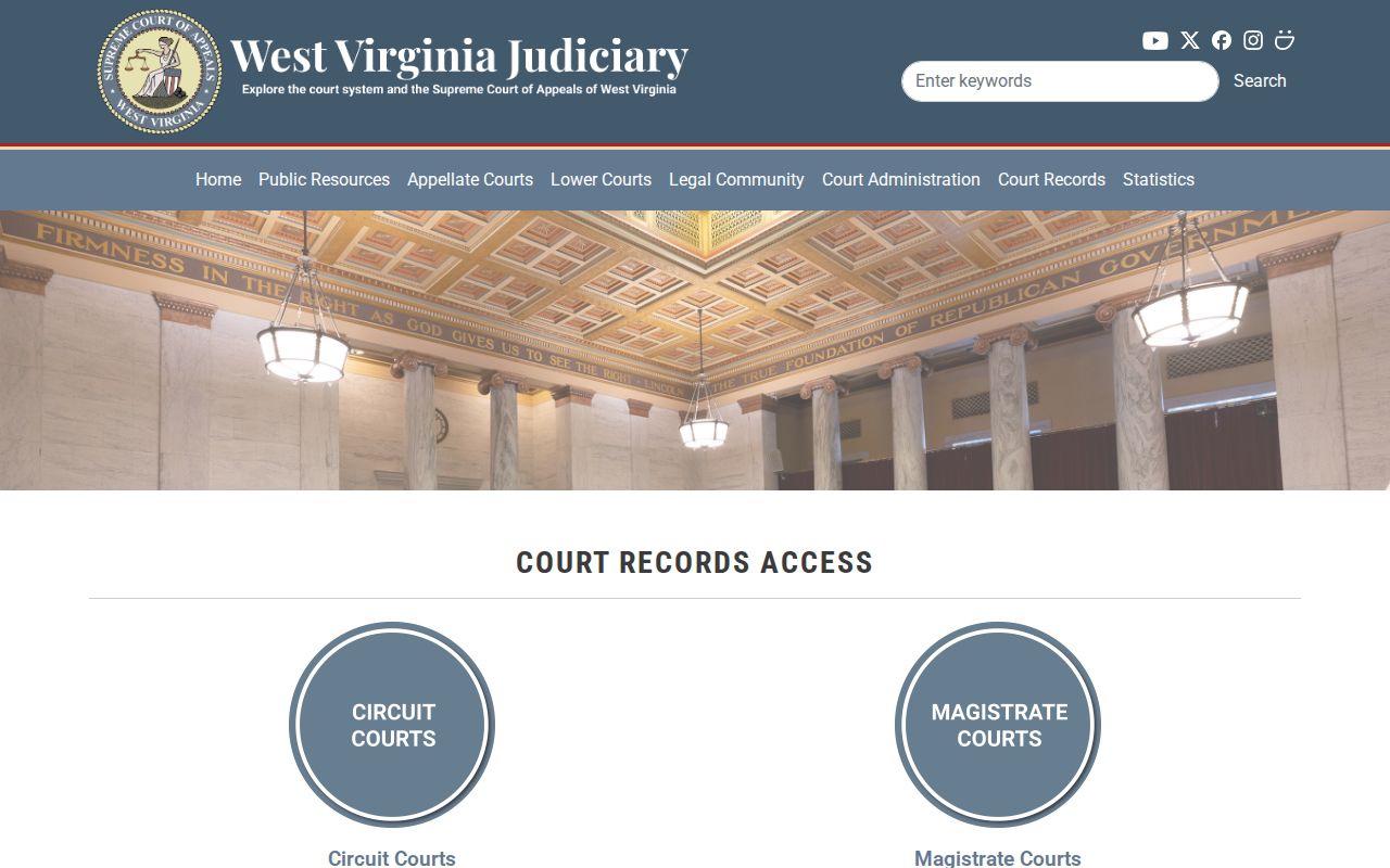
Get the complete file from the right court clerk. Get the recorded land instrument from the County Clerk. The magistrate search screen shows the exact-ID entry route.
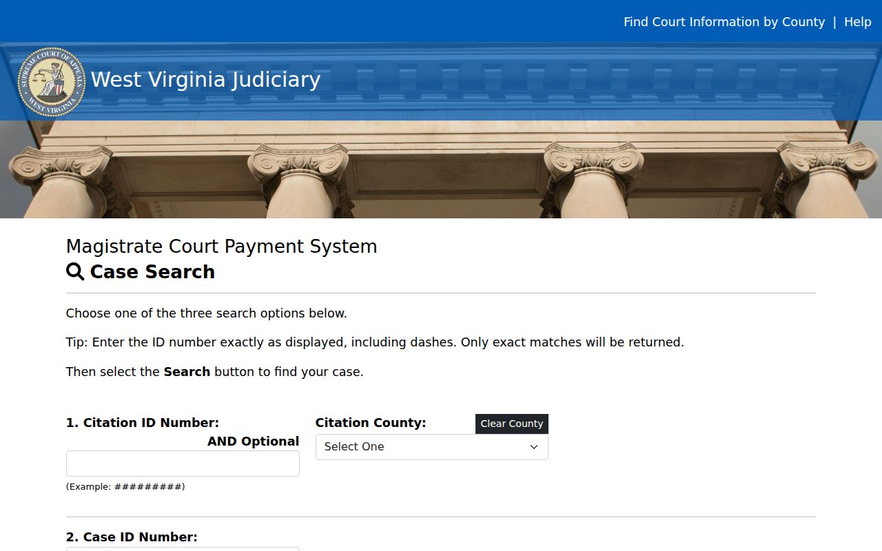
Keep the case number with the parcel ID, since the same parties can surface in more than one court matter.
Requesting Summers County Property Records Under West Virginia FOIA
Some Summers County records never make it online. The fix is simple. Figure out which office holds the record, then send that custodian a focused request. West Virginia's Freedom of Information Act sits in W.Va. Code chapter 29B. It asks for reasonable specificity. Name the parcel, the record type, the parties and a rough date range. That narrow request routes faster than a broad demand for everything tied to a name or address.
Timing matters too. Under W.Va. Code §29B-1-3, a custodian must respond, or arrange inspection and copying, as soon as practicable and within five days, excluding weekends and legal holidays. Treat that as a response deadline. It is not a promise that every record will be ready within five days. Fees tie to reasonable copying and media costs, so confirm the amount with the office before you budget for copies. An older deed may travel better through the Clerk's book or archive route than through a portal.
Access has limits. West Virginia Code §29B-1-4 lists exceptions to the presumption of public access. The County Clerk flags military discharge records as restricted. Birth records become public after 100 years. Death, marriage, divorce and annulment records generally open after 50 years, subject to statutory exceptions. Current certificates carry eligibility and identification rules. Summers County property records are public land records. They do not make every personal record public. Send requests through official county or state contacts, and keep a copy of what you asked for, since the clerk holds land documents while another office keeps assessment and tax records.
The Courthouse Connects Current and Historic Summers County Property Records
The courthouse anchors record-keeping in Summers County. The county formed in 1871 from four surrounding counties. Construction of the courthouse followed in 1875. The county reports a 1981 National Register listing. Age has not cost the county its records. No courthouse fire or catastrophic loss appears in the county's own account of the building. The courthouse still houses the Clerk's land-record and probate work, while state-supported web applications handle much of the present-day parcel searching.
The Clerk says current indexed documents begin in 2005. Archival descriptions reach back to nineteenth-century deed indexes and early deed books. An online gap is not a missing decade. When the county web index misses an older transfer, move from the newest known deed into the clerk's older books, then use the State Archives or the FamilySearch catalog to locate a series and its date span. That is how a modern property card connects to an older owner chain.
Preservation matters here. County books document the recorded instrument, while preservation copies reduce the risk of losing older volumes. One habit pays off. Retain exact book and page references so the office can retrieve the source record quickly.
Rural Place Names Help Search Summers County Property Records
Summers County spreads far beyond Hinton. It sits between the Greenbrier and New River valleys. The county counts Bluestone Dam and Lake, Bluestone State Park, Pipestem Resort, John Henry Historical Park and Sandstone Falls among its local features. Tourism drives much of the present economy. Railroad development shaped the historic built environment. Those forces shape what people research: a Hinton downtown building, a cabin near water, a farm tract or a lot beside a park can each carry a different legal description and access question.
Community names help. County land-record navigation lists Brooks, Elton, Forest Hill, Green Sulphur Springs, Hix, Indian Mills, Nimitz, Pence Springs, Pipestem, Sandstone and Talcott. Treat them as clues. They are not additional incorporated cities. A postal label can differ from the map's E-911 address or the assessor's situs entry. Keep the exact parcel, community and mailing information together rather than treating the town name as a boundary.
Population figures tell part of the story. The county's official home page lists 11,959 residents from the 2020 Census. Hinton counted 2,245. It is the sole incorporated municipality, and its city page focuses on zoning and the historic layer. For ownership, assessment, tax and deed records countywide, the county index remains the route.
What Summers County Property Records Can and Cannot Prove
Summers County property records can prove plenty. They show recorded transfers, liens, the owner on the assessment roll, tax details and mapped parcels. They have limits too. They do not clear a title. They will not name every occupant or settle a boundary dispute either. Access rules restrict some records. The County Clerk limits military discharge records and state law shields parts of vital records, so keep any search tied to a lawful land, title-history, family-history or civic purpose.
Lawful use. Use Summers County records for property research, land stewardship, title-history questions and civic understanding. A web search is not a title opinion or survey, and owner information must never be used to stalk, threaten or harass anyone.